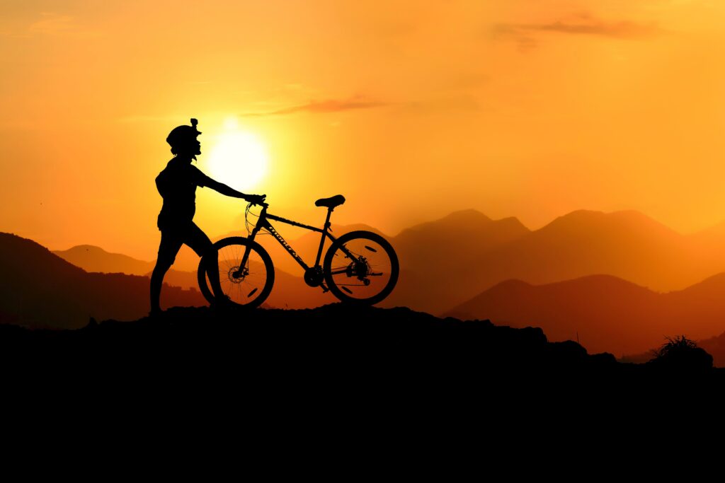
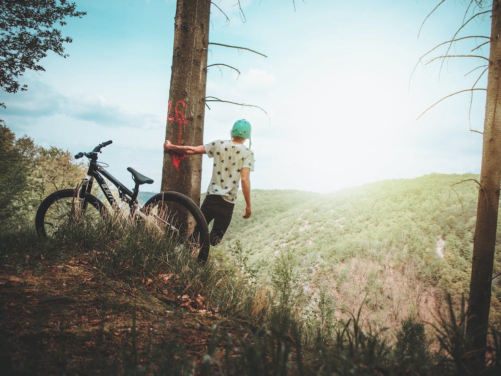
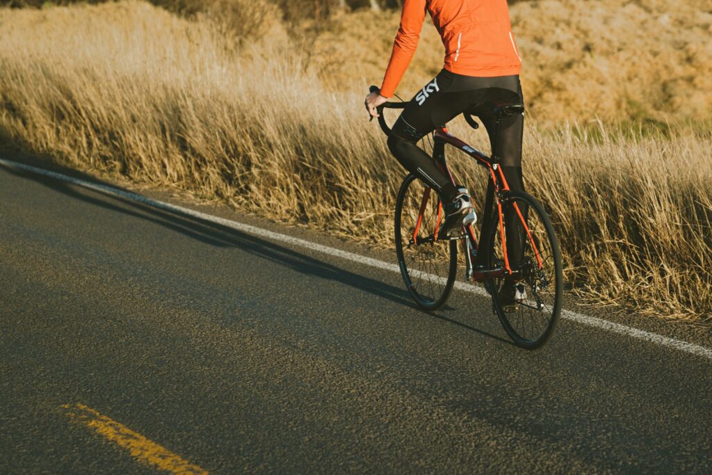
Bicycle trails
Szczyrk is a popular place for both road cycling and MTB.
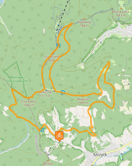
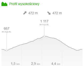
Cycle route to Klimczok via Trzy Kopce
Trzy Kopce is a peak located on the edge of the Stok Szyndzielni Reserve. The name Trzy Kopce comes from the so-called three border mounds, which were built to mark the border of the villages of Brenna, Wapienica and Szczyrk.
Distance: 5.8 km
Time: approx. 1 hour
Difficulty level: medium
Course: Chata Wuja Toma – PTTK Shelter on Trzech Kopce – Klimczok – Chata Wuja Toma
A route for intermediate users, demanding on some climbs, with a steep descent from Trzech Kopce.
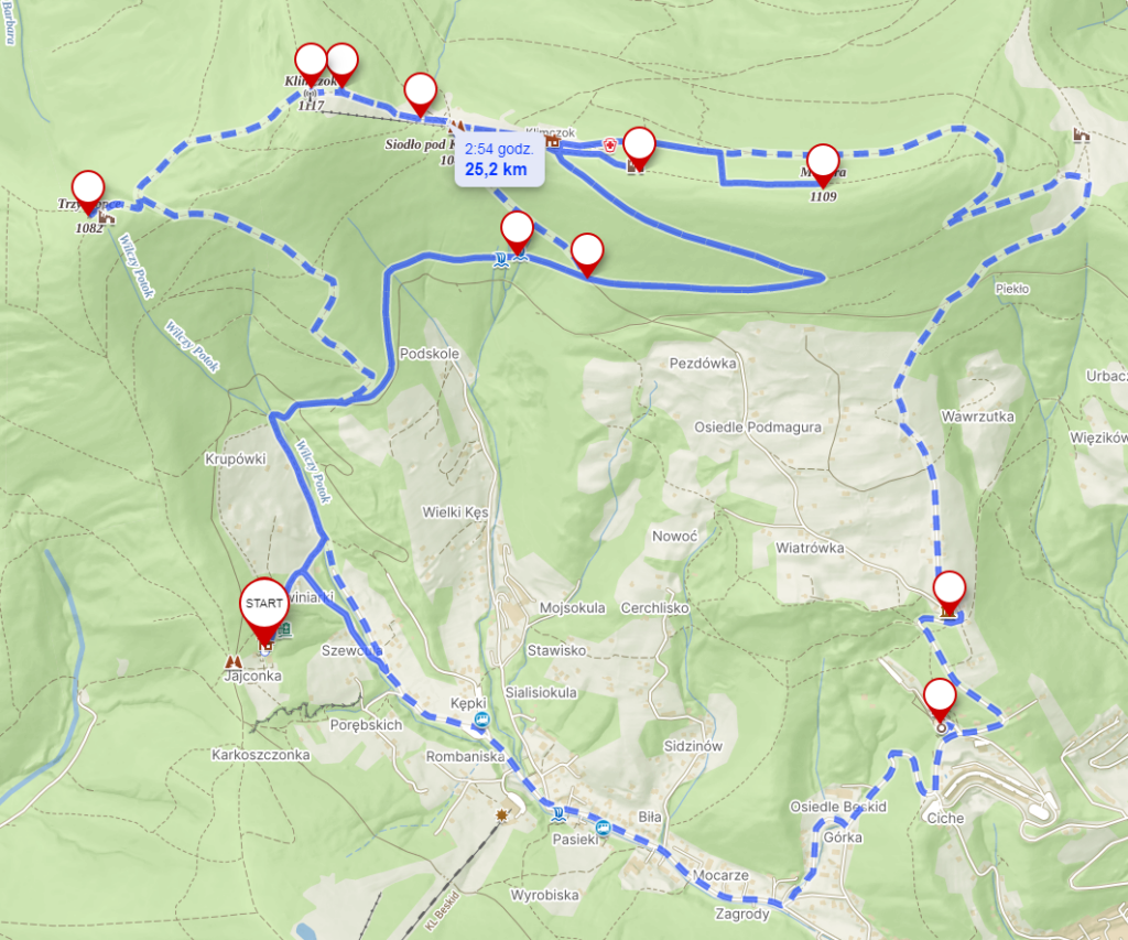
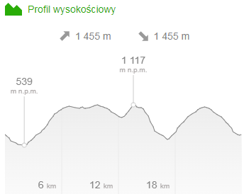
Cycling route around Uncle Tom’s Cottage
Szczyrk has breathtaking mountains and views to offer. The attractions selected on the route will allow you to get to know some of the most important tourist stops in this city. The ideal location of Uncle Tom’s Cottage means that you will see most of them on the 25 km bike route.
Distance: 25 km
Time: approx. 5 hours
Route: Uncle Tom’s Cottage – Sanctuary of Our Lady Queen of Poland “Na Górce” – Museum of Technology – Magura – ruins of the observation tower – parting of the Na Pięciu Drogach trail – waterfalls – PTTK Shelter on Klimczok – Klimczok – Shelter on Three Mounds – Uncle Tom’s Cottage
Route for intermediate users.
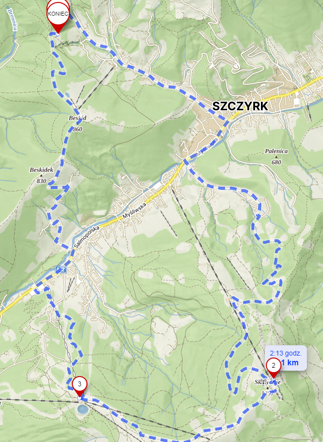
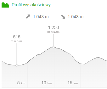
Cycling route from Chata Wuja Toma to Skrzyczne
Skrzyczne is the highest peak in the Silesian Beskids. It rises above the town of Szczyrk to a height of 1,257 m above sea level and looks great in the arena of the Crown of Polish Mountains.
Distance: 20 km
Time: approx. 3.5 hours
Course: Chata Wuja Toma – Skrzyczne – Hala Skrzyczeńska – Chata Wuja Toma
Route for intermediate level
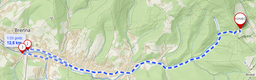
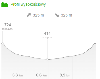
Cycling route from Uncle Tom’s Cottage to Brenna
The cycling route from Uncle Tom’s Cottage to Brenna is a pleasant route for beginners. It is worth visiting this quiet, mountainous town at the foot of the picturesque peaks of the Silesian Beskids. The embankments formed by the Brennica River are an ideal place to rest after a ride.
Distance: 13km
Time: approx. 1.5 hours
Difficulty level: easy
Course: Uncle Tom’s Cottage – Brenna – Uncle Tom’s Cottage
Route for beginners
Example routes.
Cycling routes in Szczyrk are well marked and vary in difficulty. One of the more difficult routes is the red trail leading to Skrzyczne, over 10 kilometres long and taking about 1.5 hours to complete. It is recommended for advanced cyclists. The return route leads through Hala Jaworzyna and the Dunaci Valley, and the descent takes about 30 minutes. In good weather, you can admire the peaks of the Tatras and the panorama of the Silesian, Little and Żywiec Beskids.
The Magura route leads from the centre of the town of Magura and the shelter on Magura. This trail, almost 14 kilometres long, can be completed in 1.5 hours. It is one of the most demanding routes in the Szczyrk area, marked in red.
Where else is worth it?
The Wokół Skalitego route is an easier trail leading from the center of Szczyrk through Zapalenieca, Siodło and Borowina. The ride takes 45 minutes, but due to the beautiful views it can extend to about 1.5 hours. The route includes a mountain section and an asphalt section, marked in blue.
The Górka – Bieniatka bike trail starts in the center of Szczyrk and leads through Podmagura and Bieniatka. Marked in blue, it is about 9 kilometers long and can be completed in about an hour.
And that’s probably not the end.
The Beskid bike trail leads through the Beskid Peak and the Karkoszczonka Pass. The yellow trail is 10 kilometres long and takes about 1 hour to complete. You can admire the Skrzyczne range and the panorama of Górny Szczyrk.
Cross cycling enthusiasts can use the cross-country skiing trail, which meets the requirements of the Polish Cycling Association. The Cross Track in Górny Szczyrk is less than two kilometres long and can be used by cross-country runners and Nordic walkers.
The Żylica bike and walking trail is almost 4 kilometres long and is available all year round. The trail begins at the City Hall and ends in Skalite.